|
Geodaten International Houses 3.02 
|
 |
|
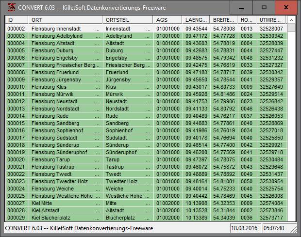
For many countries house coordinates are present with coverage degrees of 100 percent. The geo data offered here are in high-precision quality and are present in several coordinate and reference systems (Geographic, UTM / WGS84, ETRS89). House Coordinates or also called Geo Coded Building Addresses are meaning the connection between the postal addresses of buildings or building complexes and their accurate positions in the coordinate system. The house coordinates are the basis for applications, which are developed to assign buildings or building complexes as exact as possible positions in the form of coordinates. By Geo Coding buildings or building complexes are cartographically representable. The possible field of application is very various. So e.g. own address lists can be enriched with geo references and visualized on suitable map material. The application scope reaches from information systems over navigation services, geo marketing, telecommunications and UTMS based services up to Web applications and tasks of the power authorities and security services. Another point of interest can be the establishing relationships between data derived from different hierarchies and levels. For example, it could be desirable to know to which administrative or postal unit a building belongs to. The coordinates of the buildings are present as geographic coordinates and UTM coordinates. Geographical coordinates in degree notation are particularly suitable well for searches with Google Earth. Here is as an example an Internet URL with coordinates from the "Geo Data International Houses", which can represent the location of Killet Software Ing.-GbR point-exactly: "http://maps.google.com/maps?t=k&ll=51.397363,6.450883&spn=0.002,0.002". The first value behind the identifier "ll" (lat / lon) is the geographical latitude, then the geographical longitude follows. The shown URL can be inserted directly into the address field of the browser to represent a map cutout on the screen.
|
|
Version:
3.02
Release Date:
08/05/2010
Size:
309 KB
Platform:
Win 3.1x,Win95,Win98,WinME,WinNT 3.x,WinNT 4.x,WinXP,Windows2000,Windows2003,Windows Tablet PC Editi
|
Program type:
Demo
Cost: $1420.00
Online order: purchase
Review: Click here
|
|
Requirements: All systems
|
|
|
|
|
|