|
Geodaten Deutschland 10.00 
|
 |
|
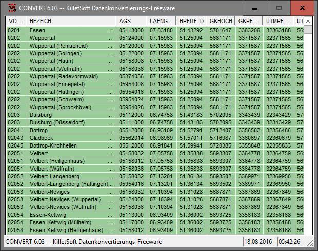
Geodata of the Federal Republic Germany with municipalities, postal codes, telefone preselections. Suitable for branch searches, periphery searches and distance computations. Georeferences as Gauss Krueger, UTM and geographic coordinates. ORTREF: 12.500 geocoded cities and municipalities. ORTGEM: Allocation of 12.500 cities and municipalities to the localities. ORTTLREF: 63.000 geocoded local parts. ORTTLGEM: Allocation of 63.000 local parts to the localities. PLZREF: 32.000 geocoded postal zip codes of the zip areas and p.o. box areas. PLZGEM: Allocation of 32.000 postal zip codes to the localities. VORWREF: 14,500 geocoded telephone local area preselections. VORWGEM: Allocation of 14.500 local area preselections to the localities. KREIS: 450 Local districts. REGBEZ: Governmental districts. LAND: Counties of the German Federal Republic. The download contains a test composition of the data of 5 local districts, the exact data description and a conversion program for producing of different data formats. Here the data fields of the table ORTREF are specified as example: Place name, municipality key, geographical longitude, geographical latitude, GK easting, GK northing, UTM easting, UTM northing, new postal zip code (significant digits), old postal zip code, number of inhabitants, No. of the telephone directory, No. of the topographic card 1:25000, UNLOCODE, type of place.
|
|
Version:
10.00
Release Date:
04/21/2006
Size:
1839 KB
Platform:
Not Applicable
|
Program type:
Demo
Cost: $195.00
Online order: purchase
Review: Click here
|
|
Requirements: All systems
|
|
|
|
|
|